Thines - Peyre
MALARCE-SUR-LA-THINES
Thines - Peyre
Mittel
4h
10,3km
+428m
-429m
Rundwanderung
Ausgleichendes Gelb
GRP
Dieses Element für den Offline-Zugriff einbetten
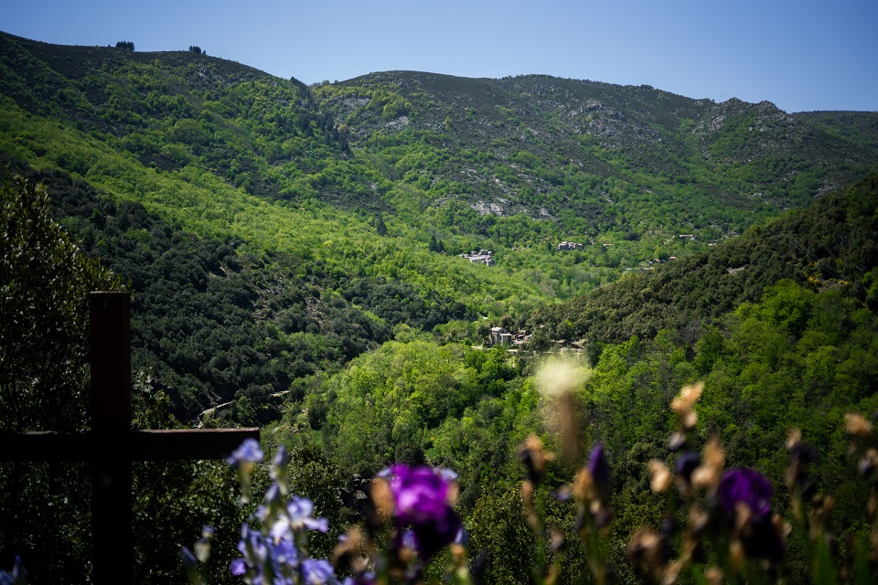
You’ll follow the pilgrimage route and the route by which the building materials for the church were transported. This tour will take you through the village of Thines from an unusual angle, and on the way back you almost dive down into it!
Beschreibung
P – The car park is below the village of Thines.
 Parking Térondel - Follow Thines 0,9 km (
 ). After taking the road upwards, go right on the shady path that leads to Thines, and cross through the hamlet.
- Follow La Blacherette 2,9 km (). Continue to the hamlet of La Blacherette.
- La Blacherette - Follow Croix Blanche 2,5 km. Above La Blacherette, continue along the path that climbs left () to reach the plateau.
- Croix Blanche - Follow Lou Bouscas 0,5 km (
 ). About 10m before the television antenna, curve left on the old mule track.
 - Lou Bouscas - Follow Combe Noire 1,1 km.
 ). Go back to the car park using the same path you came on.
- Start : Car park, Thines
- Ankunft : Car park, Thines
- Durchquerte Gemeinden : MALARCE-SUR-LA-THINES und SAINT-PIERRE-SAINT-JEAN
Wetterbericht
Höhenprofil
Orte der Information

Transport
Let us limit travel by car, think of public transport and carpooling. All public transport on transports-region-auvergne-rhone-alpes
Zufahrt und Parkplätze
From Joyeuse (25 km) direction Lablachère (D104) then La Bastide Puylaurent (D4) then Thines small road on your left.
From Les Vans (21 km) direction Villefort (D901) then Gravières (D113). Take the D513 to Thines.
From Les Vans (21 km) direction Villefort (D901) then Gravières (D113). Take the D513 to Thines.
Parken :
Térondel Car park, Thines
Mehr erfahren
Quelle
Ein Problem oder einen Fehler melden
If you have found an error on this page or if you have noticed any problems during your hike, please report them to us here: