Route No. 13 : Les chemins de Cannelle
PRUNET
Route No. 13 : Les chemins de Cannelle
Easy
1h40
4,5km
+332m
-333m
Loop
PR
Embed this item to access it offline
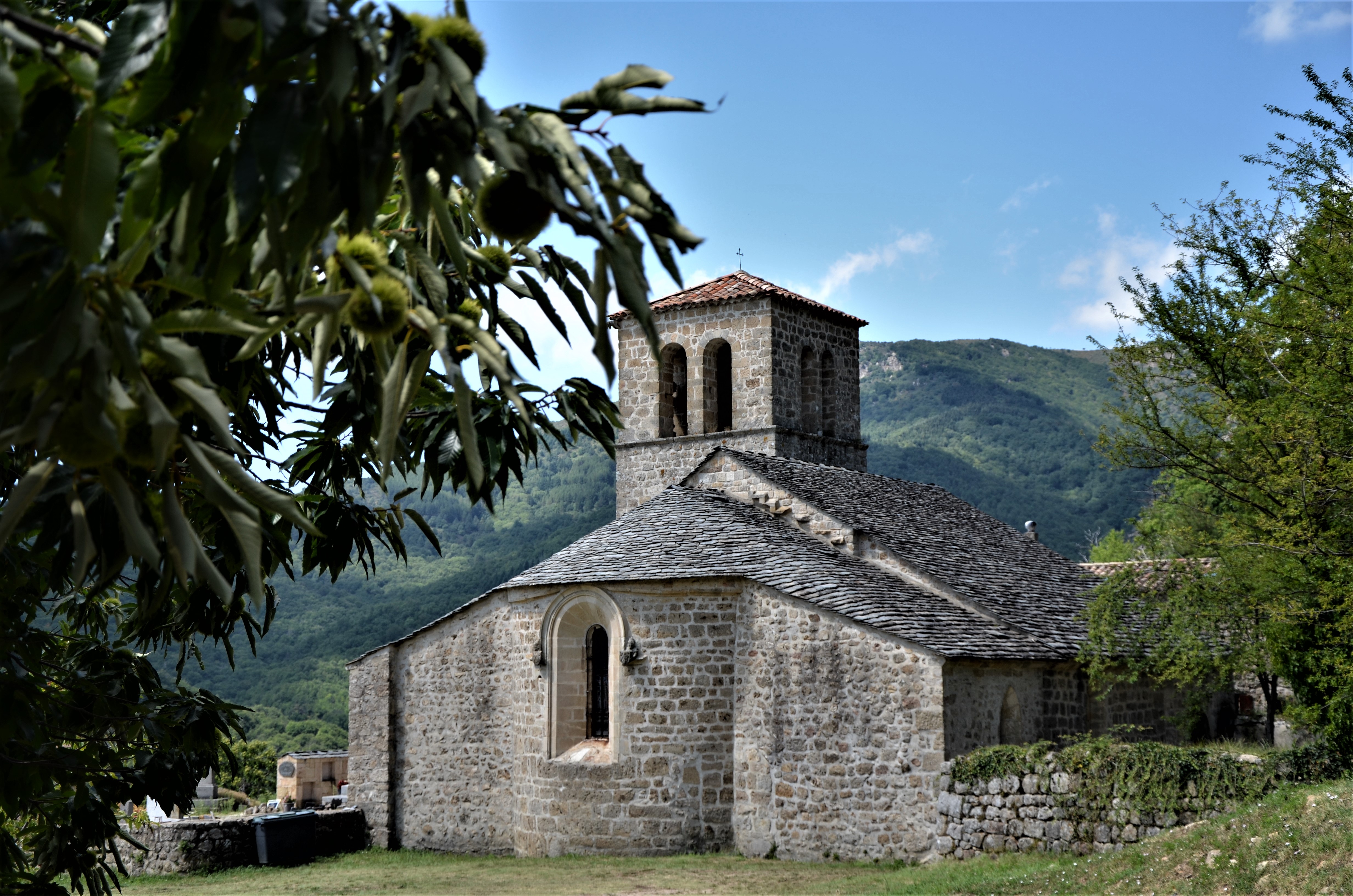
A shaded walk through the remnants of the past in Prunet. Follow the mule tracks winding through lush chestnut groves and picturesque hamlets. Discover the drailles, narrow paths between two ancient stone walls. Immerse yourself in the preserved heritage of this region, bearing witness to its history. Enjoy a magnificent panorama of the Val de Ligne from the Romanesque church, where the walk begins.
Description
Departure from the church:
Join the village by the road for 300m, then go down on your left at the house. Continue to the town hall and turn left towards: [Bouteyre via Pont de Cannelle 2.2 km].
After crossing the village through the alleys, continue on the path descending through chestnut groves to the pretty Cannelle bridge. Cross it and climb back up to the road. Turn left, pass under the Mouleyres hamlet, and reach the Rochebrune hamlet by the road.
Cross the hamlet, at the last house take the draille (herding path) on the right that goes up through the chestnut trees. Cross the road, and continue straight ahead passing the wooden gates — make sure they close properly after you pass. Continue climbing until the track, follow it to your right for about 150 m, then take the draille on the left.
Bouteyre: [Prunet 1.2 km]
At the crossroads, turn right. Go around the hamlet of Bouteyre on the right and descend back to the road. Cross the road and continue straight on the old paved path. Cross the road again and take the path on the left. Cross the Ligne river by the stepping stones, then climb back up to the road. Turn left then right, and at the last house, take the stairs going up on the left; cross the hamlet of Fenouillères by the paved path. At the road, turn right and follow it to the village of Prunet. Take the paved street from the square and reach the church.
- Departure : Église Saint Grégoire, Prunet
- Arrival : Église Saint Grégoire, Prunet
- Towns crossed : PRUNET
Forecast
Altimetric profile
Information desks

Office de tourisme du Val de Ligne
3 rue du Maréchal Suchet,, 07110 Largentière
Access and parking
From Largentière, follow Jaujac via Rocher (D5).
Parking :
Parking de l'église, Prunet
More information
Report a problem or an error
If you have found an error on this page or if you have noticed any problems during your hike, please report them to us here: