
Beaume Drobie blue trail
VALGORGE
Beaume Drobie blue trail
Gemiddeld
3h
20,3km
+897m
-897m
Rondwandeling
Pad
Download dit item om er offline toegang toe te hebben
{count, plural, =0 {Gekoppeld document}} one {Gekoppeld document} other {Gekoppelde documenten}}
- Downloadjpg
trail20
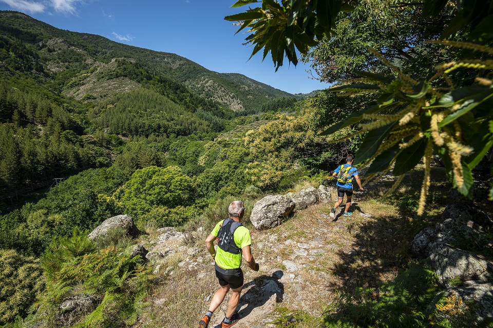
Krediet: Trail Beaume Drobie - M. Dupont - Trail Beaume Drobie
Beschrijving
P – From the car park, follow the trail signs  . For this circuit, follow the blue dots (20) on the signs along the route.
- Vertrek : Salle de la Pourette, Valgorge
- Aankomst : Salle de la Pourette, Valgorge
- Doorlopende gemeentes : VALGORGE, LOUBARESSE en DOMPNAC
Weerbericht
Hoogteprofiel
Aanbevelingen
This circuit is also accessible for walkers.
Informatiepunten

Vervoer
Let's limit car travel, think about public transport and carpooling. All public transport on transports-region-auvergne-rhone-alpes
Toegang tot de weg en parkeren
From Les Vans (38 km) reach Joyeuse (24 km) and follow the D203 towards Valgorge.
Parkeren :
Salle de la Pourette, Valgorge
Meer informatie


Een probleem of fout melden
Als u een fout op deze pagina heeft opgemerkt of u bent een probleem tegen gekomen tijdens uw wandeling, kunt u dit hier aan ons melden: