Route No 4 : De Chazeaux à la Vierge du Ranc Courbier
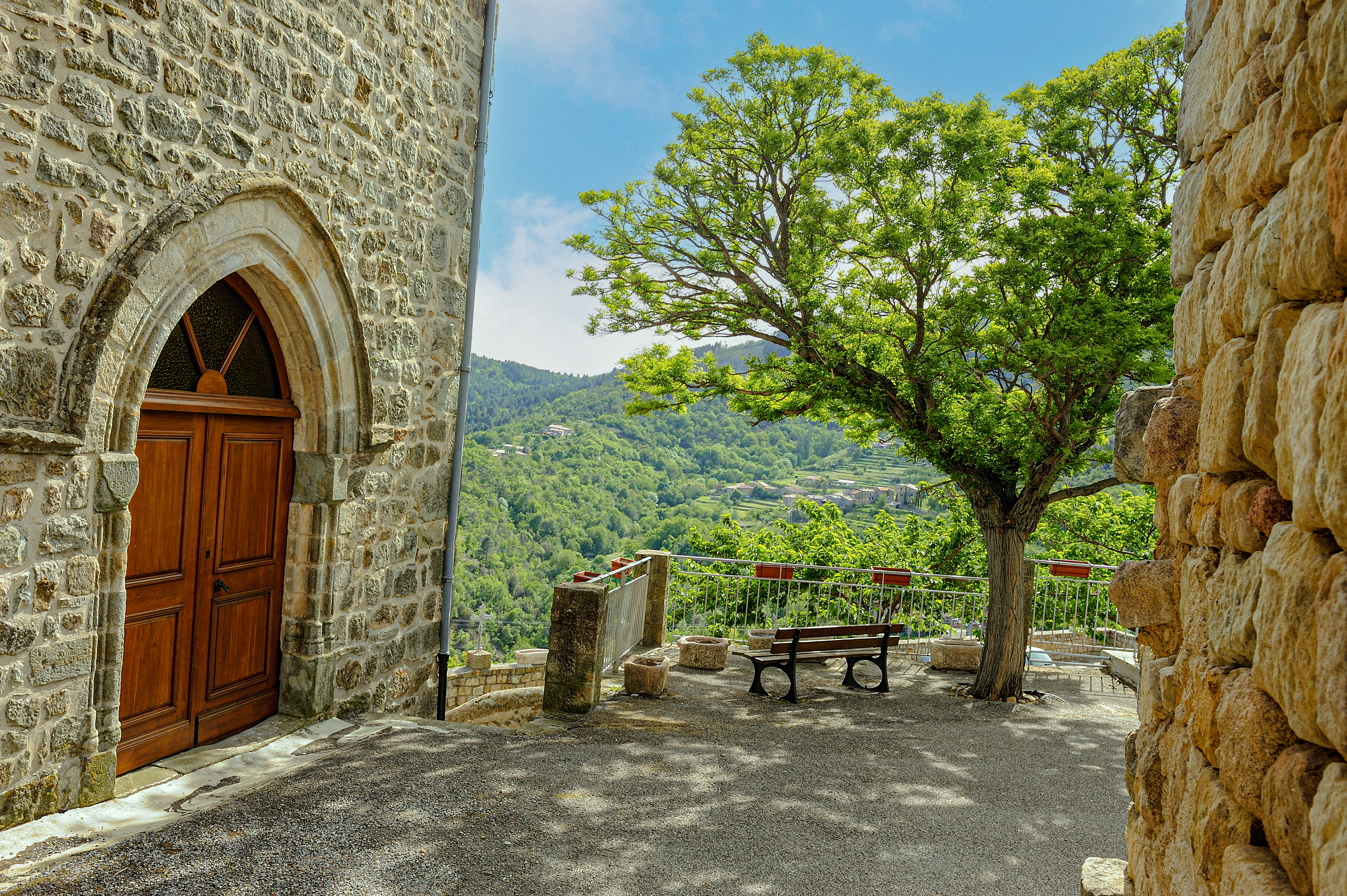
CHAZEAUX
Route No 4 : De Chazeaux à la Vierge du Ranc Courbier
Medium
4h
11,8km
+479m
-482m
Loop
PR
Embed this item to access it offline
This loop between Chazeaux and Rocher offers beautiful panoramic views over the Ligne and Lande valleys. You'll be immersed in nature, surrounded by chestnut and pine trees. You'll have the chance to discover the Vierge du Ranc Courbier, a magnificent statue enthroned above Rocher. You'll stroll along the old paths, surrounded by the cultivated terraces or ‘faïsses’, typical of the Ardèche landscape.
Description
Departure from Place de l'Eglise: From the car park, follow signs for Les Fourches (2.8 km). Pass the ruins of the castle at the end of the car park, then follow the road down to the left. Walk past the house and then along the road on your right (impasse du pigeonnier). Go past the house and continue along a grass track. Continue as far as the crossroads, then take the winding path that climbs on your right to La Combe and the Miellerie du Monteil.
1. La Combe: [Prunet 6.4 km]. Follow the road to the left for 50m, then take the track that descends to the left. After 500m, turn right to join the road. Follow the road for 250m and then climb the stairs to the right alongside the houses at Basse-Méjanne. Follow the access road to the left and, at the fork in the road, turn right for 200m. Go around the houses of Haute-Méjanne on the left and continue to the right through the chestnut trees. After the reservoir, turn left.
2. Les Fourches: [Le Vaure 2.8 km, Rocher 4.4 km].
3. L'Hubac: [Le Vaure 1.4 km, Rocher 3 km] At the crossroads, you have two options:
The variant: 8.5 km, 400m ascent, 2h45 [Chazeaux 3.7 km] (You will arrive at stage 8)
Continue on the DFCI (forest track): [Le Vaure 1.4 km, Rocher 3 km]
4. Ranc Courbier: [Le Vaure 0.6 km, Rocher 2.2 km] At this point, continue on the road.
5. Le Vaure: [N.D de Bonne Rencontre par la Vierge 1.9 km, Chazeaux 5.9 km] This path leads through ancient chestnut groves to the Vierge du Ranc Courbier. Continue to the hamlet of Joux and follow the wall sign:
6 . Joux: [ND de Bonne Rencontre 0.4 km, Chazeaux 5.9 km]. Take the lane down to the right. Continue as far as the crossroads.
7. Notre-Dame-de-Bonne-Rencontre: [Chazeaux 3.8 km, Chassiers 7.7 km]. Turn left and continue to the crossroads.
8. La Rouvière: [Chazeaux 3.4 km]. Follow the track to the left. At the crossroads, turn right. You will have a beautiful view of the Lande valley.
9. Pont de Charbonnier: [Chazeaux 1.4 km, Lentillères 4.3 km]. Follow the gravel path up to the road.
10. La Coste: [Chazeaux 0.7 km] Return to the village along the dirt track.
- Departure : Place de l'église, Chazeaux
- Arrival : Place de l'église, Chazeaux
- Towns crossed : CHAZEAUX, CHASSIERS, and ROCHER
Forecast
Altimetric profile
Information desks

Office de tourisme du Val de Ligne
3 rue du Maréchal Suchet,, 07110 Largentière
Access and parking
Follow the D54. Park in the village (Place de la Mairie), where the start is located.
Parking :
Rue du château, Centre du village, Chazeaux
Accessibility
- Emergency number :
- 114
More information
Report a problem or an error
If you have found an error on this page or if you have noticed any problems during your hike, please report them to us here: