Route No 10 : La Corniche des Gras
LAURAC-EN-VIVARAIS
Route No 10 : La Corniche des Gras
Medium
3h
9,6km
+216m
-221m
Loop
PR
Embed this item to access it offline
Discover the hidden treasures of Laurac with this loop! Stroll along our picturesque paths and let yourself be enchanted by the varied landscapes: from golden vineyards to shady chestnut groves and majestic hundred-year-old oaks. Soak up the enchanting scents of the Mediterranean vegetation and let yourself be transported by the magic of our unspoilt nature. An authentic experience that will awaken all your senses and leave you with unforgettable memories!
Description
Start the descent between the church and the pharmacy. Follow the signs through the village.
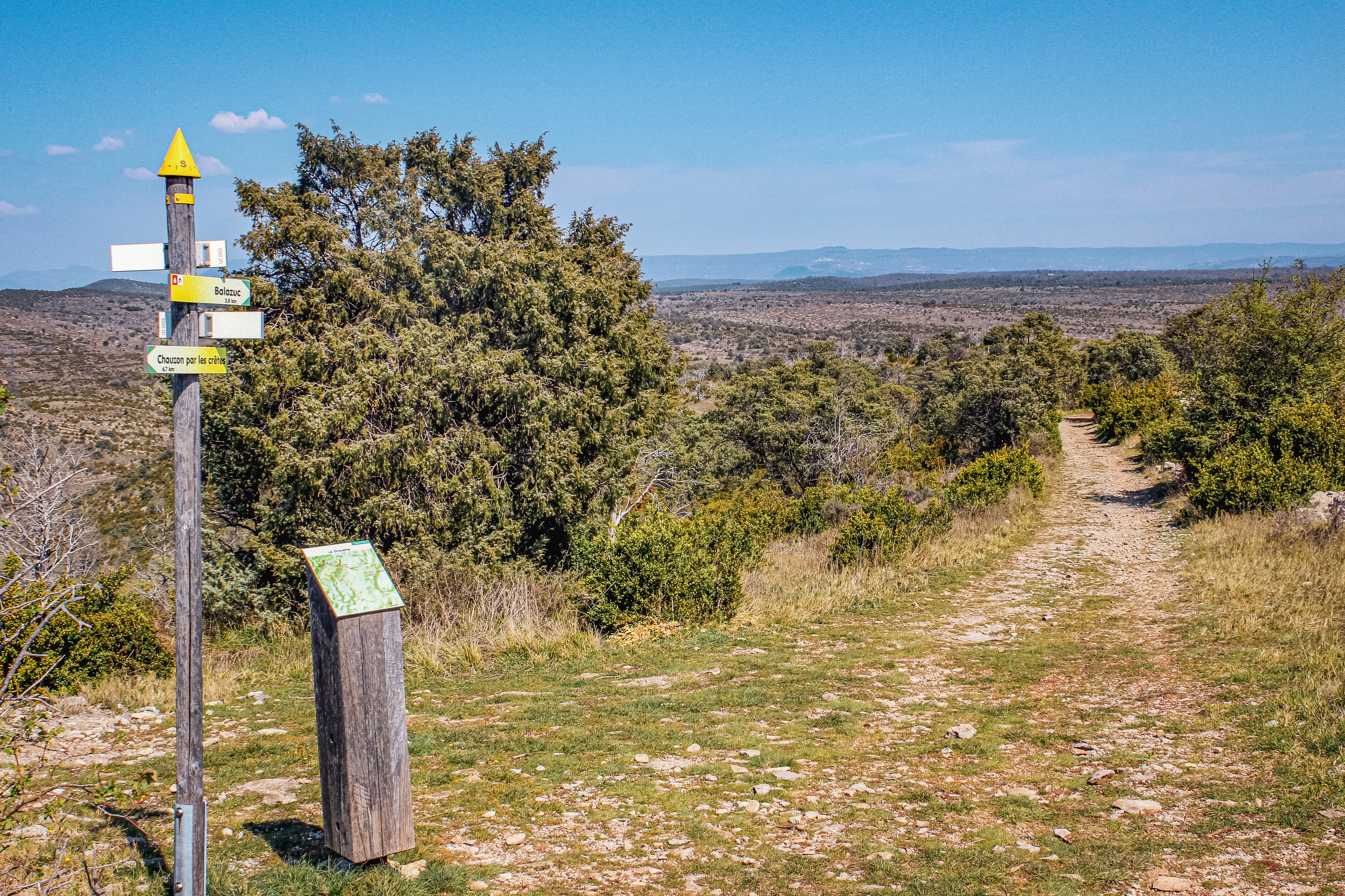
1. Le Lavoir : [Chadeyron 1.8 km, Uzer 6.5 km]
2. Les Piles: [Chadeyron 1.8 km, Uzer 6.5 km] At the fork in the road, take the path that climbs up the terraces on your left. Walk along the stream, which is usually dry, on your left and after 20 m, take the path that climbs to the right. This very pleasant path, known as ‘la côte de la guerre’, joins the road. Follow the road for 200 metres on the left, then take the path on the right through the vineyards. After 400m, turn left and the path goes downhill and then uphill to reach a road. Cross the bridge on your right.
3. Chadeyron: [Uzer 4.7 km] At the crossroads, follow the road to Bellevue. Cross the main road - be careful - go straight on and follow the road.
4. Le Mont Montredon : [Laurac 6 km] Continue towards Laurac. After 150m, leave the road after the bridge and take the gravel path that climbs to the right.
5. Les Granges de Mirabelle: [Laurac 4.5 km] At the crossroads, turn right. Follow the path which winds through typical limestone vegetation for 850m. Then take the path down the hillside. Follow the road for 450m, then turn right. Pass between the houses in the hamlet of Vacher and continue along the track, then turn left. Follow the tarmac track to the right. Cross the stream and climb up on your left.
Cross the main road (be careful) and take the tarmac road that climbs up on your right. After 250m, turn left; at the last house in the hamlet of La Graillerie, take the path leading downhill, cross the stream and walk along it for a few metres on your left, then rejoin the road via the calade. Turn right and follow the road into the village.
- Departure : Place de l'église, Laurac-en-Vivarais
- Arrival : Place de l'église, Laurac-en-Vivarais
- Towns crossed : LAURAC-EN-VIVARAIS, MONTRÉAL, and LABEAUME
Forecast
Altimetric profile
Recommandations
Attention en cas de forte chaleur, la portion au niveau du plateau des Gras n'est pas ombragée.
Information desks

Office de tourisme du Val de Ligne
3 rue du Maréchal Suchet,, 07110 Largentière
Transport
Ligne E13 ou 74
Access and parking
Parking :
Place de l'Herboux, Laurac
More information
Report a problem or an error
If you have found an error on this page or if you have noticed any problems during your hike, please report them to us here: