Circuit No. 14 :
PRUNET
Circuit No. 14 :
Very easy
4h
10,8km
+399m
-406m
Loop
PR
Embed this item to access it offline
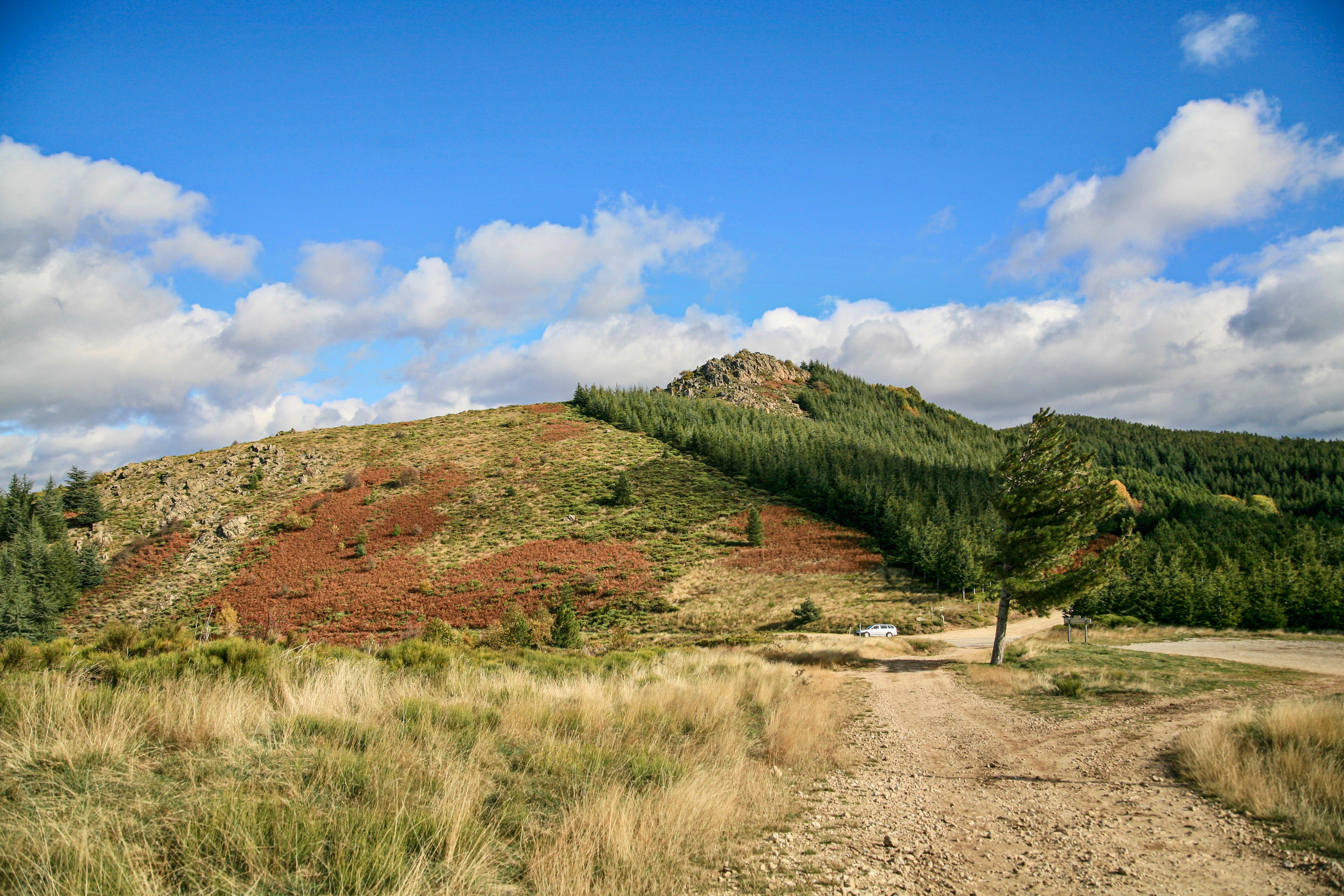
From Saint Gregory’s Church to Saint Philomena’s Chapel up to the Col de la Croix de Millet. The Ardèche Mountains rise in the background, offering a breathtaking panorama over the Ligne valley. At the top of the pass, the view stretches as far as the eye can see, capturing the grandeur of the surrounding landscapes. Immerse yourself in this unique atmosphere, where nature reveals itself in all its splendor, inviting you to lose yourself in the wild beauty of the Ardèche mountains.
Description
Start from the church: Continue on the DFCI track until the junction, 2 km away.
Sainte-Philomène Chapel: [Col de la Croix de Millet 3.2 km, Jaujac 9 km] While climbing, enjoy the view of Prunet, the Cham du Cros in the foreground and Mont Aigu in the background. Follow the direction to Col de la Croix de Millet. At the fork, take the left track towards Col de la Croix de Millet. You have a beautiful view of the Coiron plateau. At the next fork, take the track that goes up to the right to the top of the ridge. You have a magnificent panorama of Cham du Cros and Mont Aigu, Jaujac, the Lignon valley, the Ardèche plateau to the north, the Coiron plateau to the east, and southern Ardèche with Dent de Rez to the southeast. Then descend by the track on the left, then continue right to reach the pass.
Col de la Croix de Millet: [Prunet 5.3 km] At the crossroads, cross the road and go left. Follow the DFCI track to the junction.
Rabié: [Prunet 2.5 km] The path descends through an old chestnut grove, overlooking a private road for several meters before following it for about 50 m. Follow the path again which climbs slightly to the right. Take the private road again, at the fork take right for 30 m then take the old drove road descending to your left.
Bouteyre: [Prunet 1.2 km] At the junction, turn left. Bypass the hamlet of Bouteyre on the right and descend towards the road. Cross the road and continue straight on the old paved path. Cross the road again and take the path on the left. Cross the Ligne, then climb back to the road. Turn left, then right, and at the last house take the stairs going up on the left. Cross the hamlet of Fenouillères by the paved path. At the road, turn right and follow it to the village of Prunet.
- Departure : Église Saint Grégoire, Prunet
- Arrival : Église Saint Grégoire, Prunet
- Towns crossed : PRUNET, LENTILLERES, SAINT-CIRGUES-DE-PRADES, JAUJAC, and JOANNAS
Forecast
Altimetric profile
Information desks

Office de tourisme du Val de Ligne
3 rue du Maréchal Suchet,, 07110 Largentière
Access and parking
From Largentière, follow Jaujac via Rocher (D5).
Parking :
Parking de l'église, Prunet
More information
Report a problem or an error
If you have found an error on this page or if you have noticed any problems during your hike, please report them to us here: