
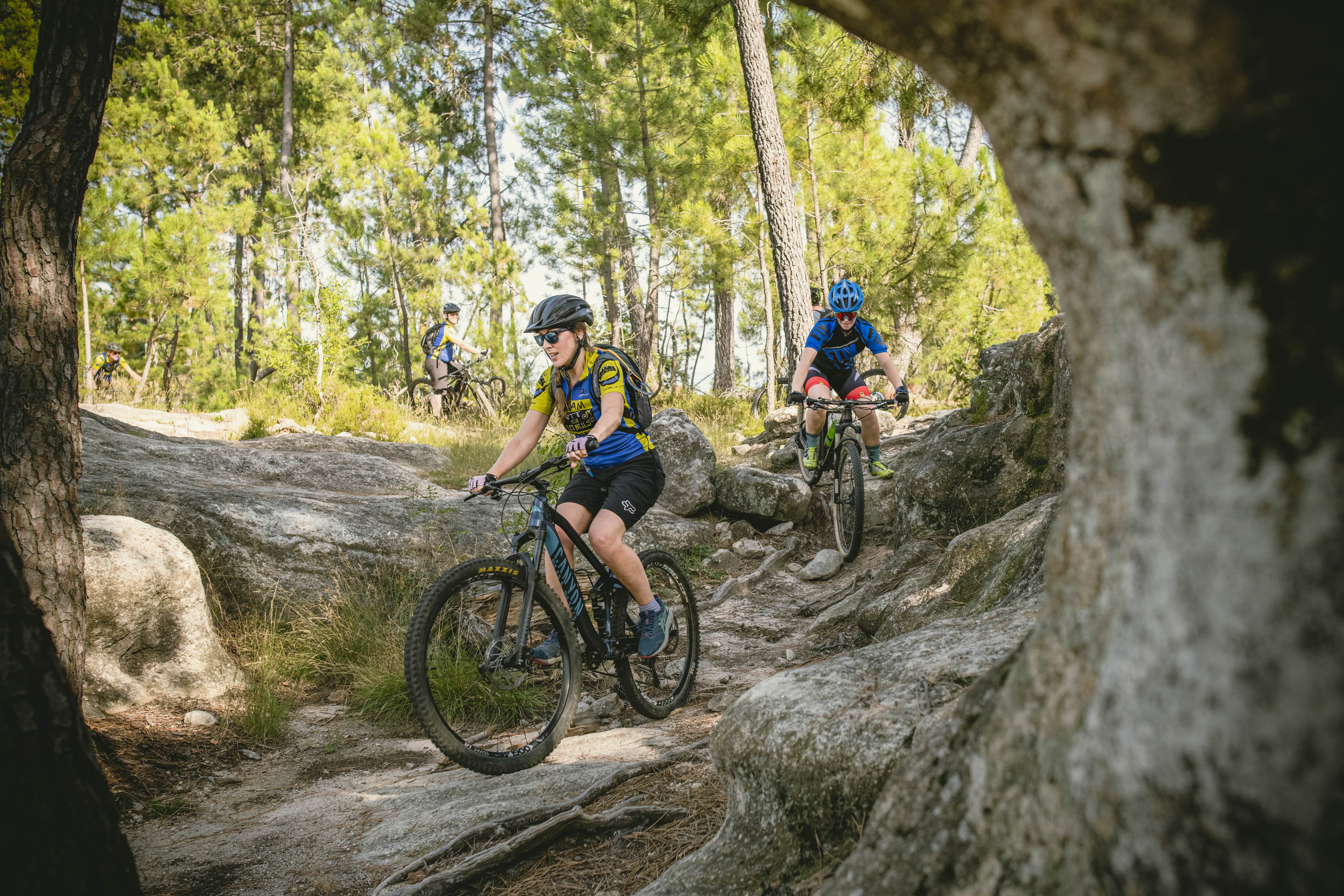
Mountain bike circuit: Tour du Roubreau
Tour du Roubreau: plunge into a wild valley where the silence is disturbed only by the sound of your wheels. This mountain bike tour takes you through three Ardèche villages full of character, combining raw nature with authentic charm.
Description
From the parking lot of Montréal Cemetery, take the main road towards Sanilhac for 200 meters. At 4.28 km, turn right onto the path after the cross (yellow and white markers, no "Sanilhac" sign).
At 5.38 km, turn right at the intersection (yellow and white arrow, no sign or cross). Continue to the bridge at 6.14 km, then take the road to the left for 100 meters before following the marked path to the left. At 6.37 km, follow the road until 6.57 km, where you reach the hamlet of Chéron. Go straight ahead.
At 6.86 km, pass along the vineyards before turning right. Follow the yellow and white markers towards Blachis. At the Blachis locality, turn left onto the path and continue to Haut-Laval at 8 km.
Then head towards the Tour de Brison (yellow and red markers). At 8.34 km, pass by the hotel "La Bastide de Sanilhac" and take the Pouchonnet dead-end road on the right at 8.66 km.
At Pouchonnet (9 km), leave the yellow and red markers and turn right towards Joannas/Le Plançon. Carefully descend this technical section. At 10.39 km, cross the Roubreau River and climb up towards Le Plançon (80 meters of carrying). Take the road towards Joannas at 10.60 km, then, after a short carrying section, descend the road towards Chassagnoles (12 km).
At 12.35 km, in Chassagnoles, turn left onto the second yellow and red marked path towards Joannas. Cross the village of Joannas (13 km) and continue on the red and yellow marked path. After 200 meters of carrying before the cross, keep following the markers.
At 16 km, descend to the Ranchisses campsite. Cross the D5 and follow the yellow and red markers to Largentière. Continue on the D5 to the traffic light. Turn right towards the fire station and follow the old railway track to the Baille locality.
From Baille, follow the Chemin des Côtes, which leads back to the parking lot at Montréal Cemetery, your starting point.
Arrival: Montréal Cemetery (19 km). 🚵♂️
- Departure : Cemetery car park, Montréal
- Arrival : Cemetery car park, Montréal
- Towns crossed : MONTRÉAL, SANILHAC, JOANNAS, CHASSIERS, and LARGENTIÈRE
Forecast
Altimetric profile
Recommandations
Information desks

Office de tourisme du Val de Ligne
3 rue du Maréchal Suchet,, 07110 Largentière
Transport
E13
Access and parking
From the D5, follow Montréal. Go through the village and continue to the cemetery on your right.
Parking :

Source
Report a problem or an error
If you have found an error on this page or if you have noticed any problems during your hike, please report them to us here: