
Thines - Peyre
MALARCE-SUR-LA-THINES
Thines - Peyre
Gemiddeld
4h
10,3km
+428m
-429m
Rondwandeling
Gele balisage
GRP
Download dit item om er offline toegang toe te hebben
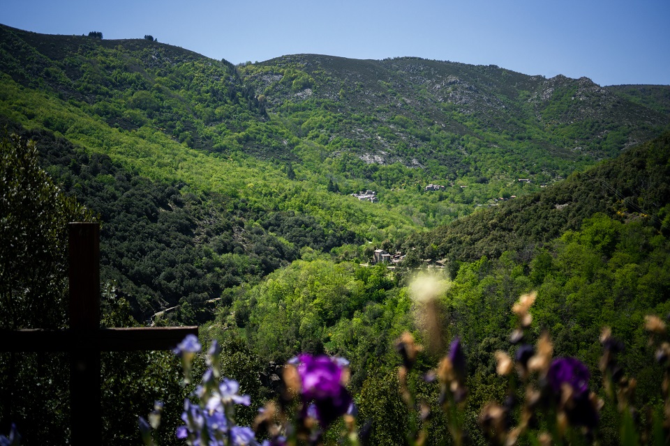
You’ll follow the pilgrimage route and the route by which the building materials for the church were transported. This tour will take you through the village of Thines from an unusual angle, and on the way back you almost dive down into it!
{count, plural, =0 {Gekoppeld document}} one {Gekoppeld document} other {Gekoppelde documenten}}
- Downloadjpg
Thines
Krediet: Thines - B.Zimmerman
Beschrijving
P – The car park is below the village of Thines.
 Parking Térondel - Follow Thines 0,9 km (
 ). After taking the road upwards, go right on the shady path that leads to Thines, and cross through the hamlet.
- Follow La Blacherette 2,9 km (). Continue to the hamlet of La Blacherette.
- La Blacherette - Follow Croix Blanche 2,5 km. Above La Blacherette, continue along the path that climbs left () to reach the plateau.
- Croix Blanche - Follow Lou Bouscas 0,5 km (
 ). About 10m before the television antenna, curve left on the old mule track.
- Lou Bouscas - Follow Combe Noire 1,1 km.
 ). Go back to the car park using the same path you came on.
- Vertrek : Car park, Thines
- Aankomst : Car park, Thines
- Doorlopende gemeentes : MALARCE-SUR-LA-THINES en SAINT-PIERRE-SAINT-JEAN
Weerbericht
Hoogteprofiel
Informatiepunten

Vervoer
Let us limit travel by car, think of public transport and carpooling. All public transport on transports-region-auvergne-rhone-alpes
Toegang tot de weg en parkeren
From Joyeuse (25 km) direction Lablachère (D104) then La Bastide Puylaurent (D4) then Thines small road on your left.
From Les Vans (21 km) direction Villefort (D901) then Gravières (D113). Take the D513 to Thines.
From Les Vans (21 km) direction Villefort (D901) then Gravières (D113). Take the D513 to Thines.
Parkeren :
Térondel Car park, Thines
Meer informatie


Bron
Een probleem of fout melden
Als u een fout op deze pagina heeft opgemerkt of u bent een probleem tegen gekomen tijdens uw wandeling, kunt u dit hier aan ons melden: